



Trip Planning Guide
The Allagash Wilderness Waterway is one of the classic canoe trips in the Northeast: a long, scenic river system made up of connected lakes, ponds, rivers, and streams in the North Maine Woods. The full waterway runs about 92 miles, stretching from the southern headwater area near Telos Dam to Twin Brook near Allagash Village. Along the way, paddlers move through big water and quieter thoroughfares, as well as river sections. This is part of what makes the trip feel bigger and more varied than a typical downriver run.
How Does the Route Work?
Many paddlers think of the Allagash River in sections rather than as one single fixed route. The upper waterway is shaped by larger lakes such as Chamberlain, Eagle, and Churchill, while the northern stretches transition into more river-oriented travel around Umsaskis, Long Lake, and the lower river. Northwoods Outfitters already positions this service around major Allagash access points, which makes it easier to plan anything from a shorter section trip to a full through-paddle.
What Access Points Do Paddlers Commonly Use?
For trip planning, the most maintained motor-vehicle access points named in Maine’s Allagash River rules are Chamberlain Thoroughfare Bridge, Churchill Dam, Umsaskis Lake Thoroughfare, Henderson Brook Bridge, Michaud Farm, and Twin Brooks. These are useful reference points when deciding where to start, where to exit, and how much of the waterway you want to cover.
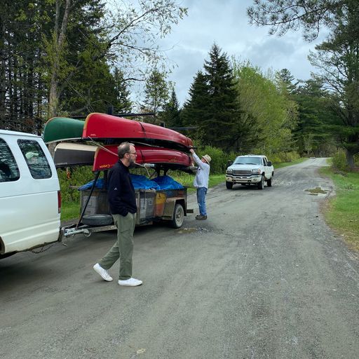
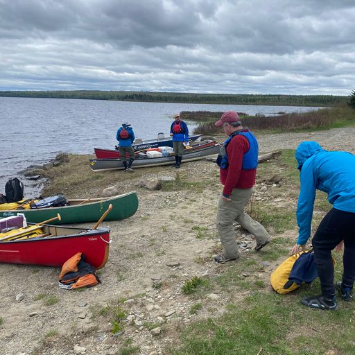
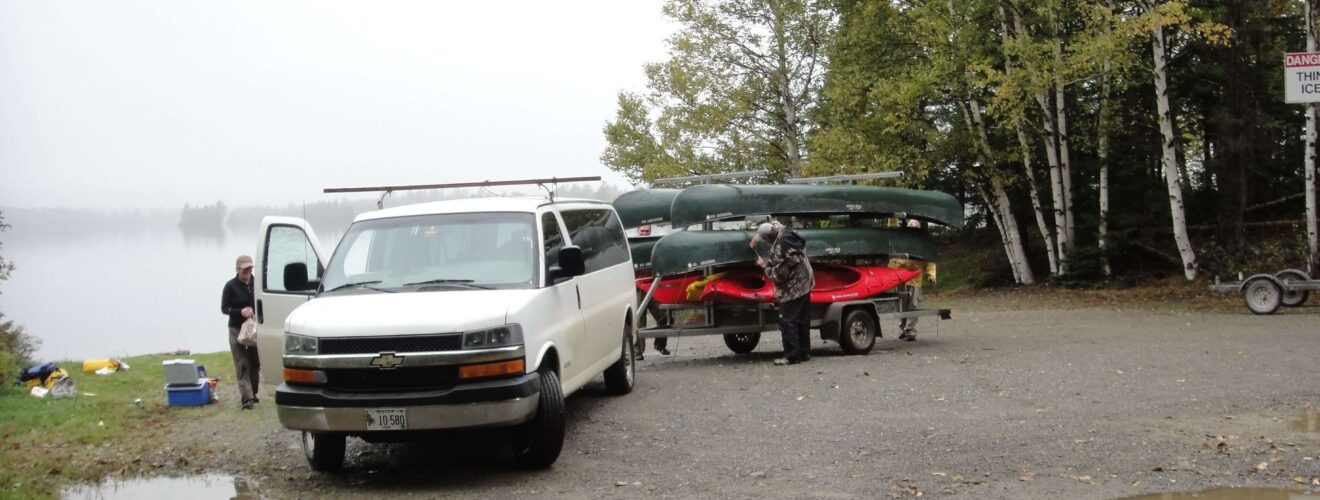
Because launch areas are remote and reached by private logging roads, the logistics matter. That is where the shuttle service, parking, and airport transportation support becomes especially useful. Free parking is available during your trip, and we can arrange transportation to and from Bangor airport and Portland airport.
How Long Should You Plan For?
Trip length depends on whether you want to paddle a section – or the full waterway. A complete Allagash River trip typically takes more than a week, while shorter multi-day trips are also common and can focus on the lakes, the river sections, or a mix of both. We offer personalized route recommendations, so the best length really comes down to your time, experience, and whether you want more flatwater, more moving water, more fishing time, or more wilderness camping.
What Permits and Logistics Matter Most?
The Allagash River is a managed wilderness waterway, so planning is part of the trip. Maine’s rules state that anyone intending to camp overnight at an Allagash campsite must register at the first opportunity with a North Maine Woods control station, an Allagash Wilderness Waterway ranger station, or an AWW ranger. Camping is only allowed at authorized campsites, and fees apply. Here are a few important trip-planning notes: local lodging in the Moosehead Lake area is available for paddlers, free parking is offered during your trip. A minimum flow around 700 cfs is generally recommended for the best Maine canoe trip experience.
What Makes the Allagash River Unique?
The Allagash River is unique for many reasons: its generous length and north-flowing water, its spectacular wildlife, the combination of remote lakes and ponds, well-spaced wilderness campsites, and a sense that you are traveling through one of Maine’s truly storied landscapes. The waterway was established by the Maine Legislature in 1966 and designated in 1970 as the first state-administered component of the National Wild and Scenic River System. It remains one of America’s most respected canoe routes.
History & Nature of the Allagash River
The Allagash River is more than a canoe route. It is a landscape shaped by Native American history, logging history, and generations of wilderness travel. Maine’s official Allagash materials note that author Henry David Thoreau visited the region in 1857 with two Penobscot guides, Joseph Aitteon and Joe Polis, and camped on Pillsbury Island in Eagle Lake. They also point out that the waterway’s native heritage still shows up in place names such as Umsaskis Lake, and the Musquacook chain of lakes.
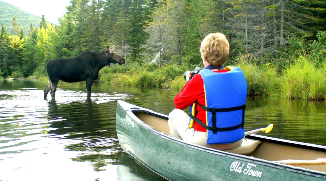
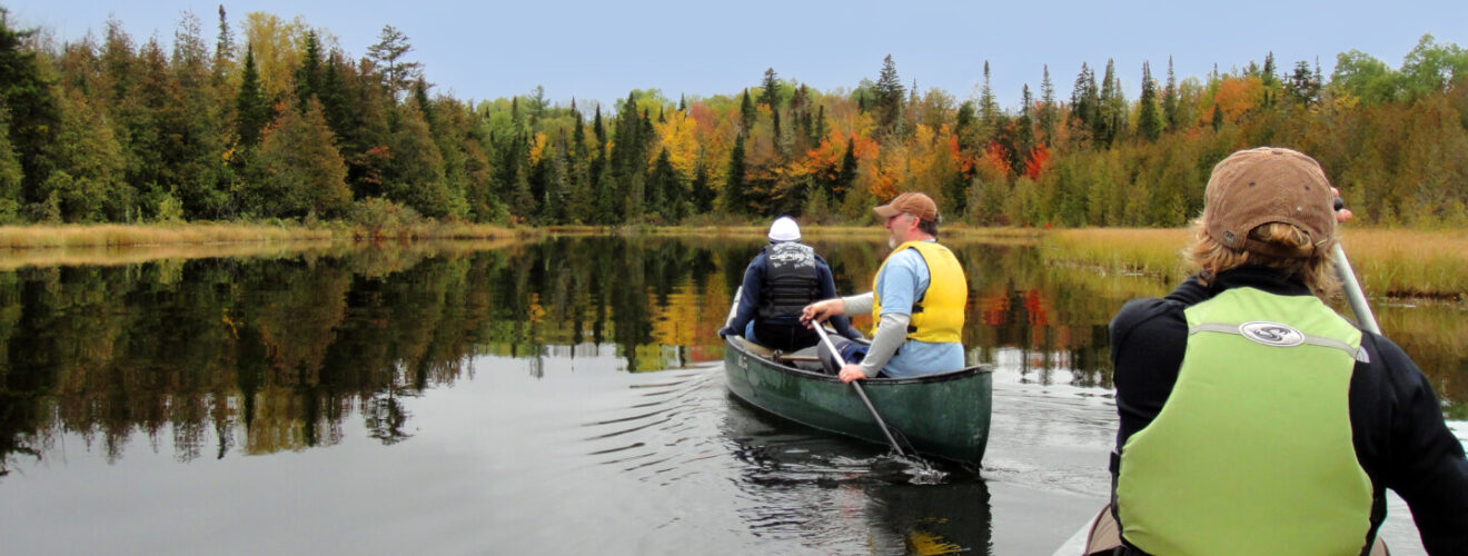
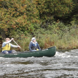
Nature is just as central to the experience. The Allagash includes broad lakes, quieter ponds, marshy inlets, and river corridors where paddlers may see moose, loons, bald eagles, and brook trout – all in the same trip. Views of Katahdin (a Penobscot word meaning “Greatest Mountain”), appear from many of the lakes. It is exactly this mix of wildlife, water, and long uninterrupted forest that makes the Allagash feel less like a single river and more like a complete wilderness travel system.
Allagash Canoe Trip Checklist
Northwoods already provides canoes, camping gear, shuttle support, and route recommendations, and its Store is the natural place to point paddlers for recommended items before an Allagash River trip. For additional gear support and outfitting help, visit our outdoor gear rentals page.
What Should You Bring?
- Canoeing and camping essentials suited to a multi-day wilderness trip
- Maps and route notes, especially if you are planning a self-guided section
- A first aid kit and self-rescue basics
- A communication backup such as a GPS/SOS device, since cell coverage can be spotty
- Clothing and layers for changing weather
- Food storage, camp setup, and dry-bag organization for lake-to-river travel
- A plan to monitor water levels before launch
